Fencing in Menzies Creek
Menzies Creek is split between Yarra Ranges and Cardinia, and the fence rules change where one council meets the other.
We connect you with a local fencer who works in the hills.
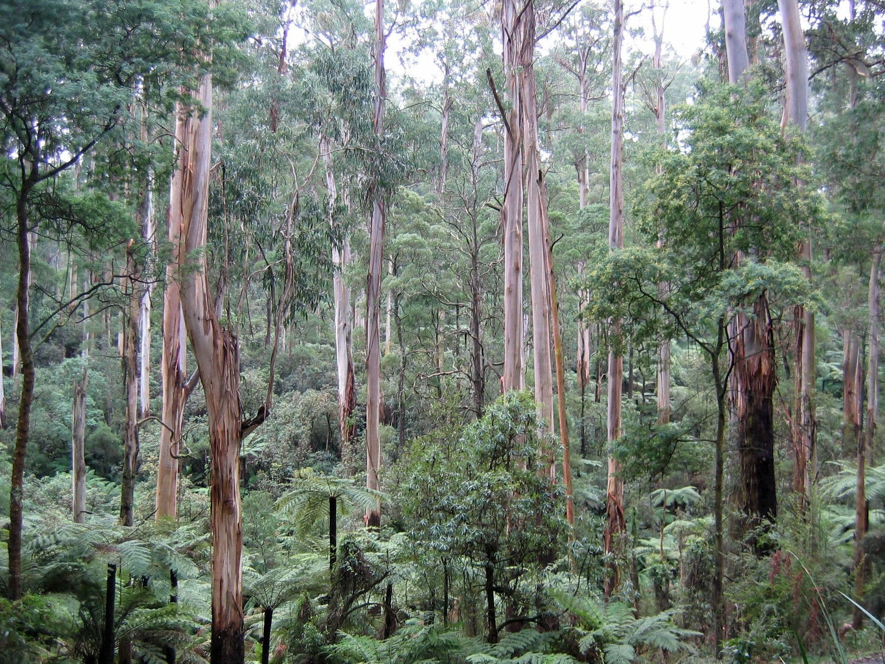
Ask for a quoteDandenong Ranges. Photo: Patche99z, Public domain

First, which council
Menzies Creek, named after an 1860s gold digger and once part of the Shire of Sherbrooke, is now split between two councils. On the planning map about 57% of the locality is Yarra Ranges and 43% Cardinia, with the Yarra Ranges side to the north. The fence rules differ across that line, so the council named on your property report is the first thing to know.
A free VicPlan property report shows both the council and the overlays.
Checked 25 October 2026 against Wikipedia: Menzies Creek and Vicmap Planning, the state's zone and overlay maps (DataVic), measured across the suburb.
The Yarra Ranges side
Every Yarra Ranges point the tree site sampled was under SLO1 or SLO3, the schedule for the Puffing Billy corridor. Both need a planning permit for any fence unless it is under 1.8 m and more than 75% see-through. A paling boundary fence needs one; open wire under that height doesn't trigger the overlay. ESO1 also came up often on that side, and its fence wording is unclear, so ask Yarra Ranges planning when your report shows it.
Checked 25 October 2026 against Vicmap Planning, the state's zone and overlay maps (DataVic), measured across the suburb, Yarra Ranges Planning Scheme, Schedules to Clause 42.03 (SLO1–6, SLO22, SLO23) and Yarra Ranges Planning Scheme, Schedules to Clause 42.01 (ESO1, ESO2).
The Cardinia side
Check Cardinia's zone schedule for a front-fence height of its own; without one, the Building Regulations apply: within 3 m of the street, a fence over 1.5 m (1.2 m in brick or concrete) needs a building permit, or over 2 m beside a declared road. On the planning side, the overlays the tree site found here, Cardinia's ESO1 (Northern Hills) and SLO1 (the Puffing Billy corridor), have no fence trigger, and nor does SLO4 (Menzies Creek Valley) next door, so the state's exemption for fences is the starting point. SLO1 and ESO1 also exempt vegetation used to build fences on the same land; other clearing can still need a permit. Fence permits covers the building side.
Checked 25 October 2026 against Vicmap Planning, the state's zone and overlay maps (DataVic), measured across the suburb, Building Regulations 2018 (Vic), authorised version 031, Cardinia Planning Scheme, schedules to Clauses 42.01, 42.02, 42.03 and 43.02 and Victoria Planning Provisions, Clause 62.02 (buildings and works).
Rural boundaries on both sides
The planning map shows no residential zone here. Half the locality is Green Wedge and a third Rural Conservation, so many fences divide rural blocks. The Fences Act applies the same way in both councils: neighbours share a sufficient fence equally, and where a farm meets a house block the farm standard is the sufficient one. Next to a council park or Crown land there is no neighbour to share the cost. Dividing fences covers the notice and farm fencing the wire.
Checked 25 October 2026 against Vicmap Planning, the state's zone and overlay maps (DataVic), measured across the suburb, Fences Act 1968 (Vic), authorised version 072 and Victorian Government: fencing in Victoria.
The suburbs around it
Checked 25 October 2026 against Yarra Ranges Planning Scheme, Schedules to Clause 42.03 (SLO1–6, SLO22, SLO23) and Cardinia Planning Scheme, schedules to Clauses 42.01, 42.02, 42.03 and 43.02.
Ask for a quote
Tell us where you are and what needs doing, and we'll contact you as soon as possible.