Fencing in The Patch
The Patch's old 10-acre selections are now Green Wedge land under the ranges overlay, where a solid side fence needs a planning permit and post and wire usually doesn't.
We connect you with a local fencer who works in the hills.
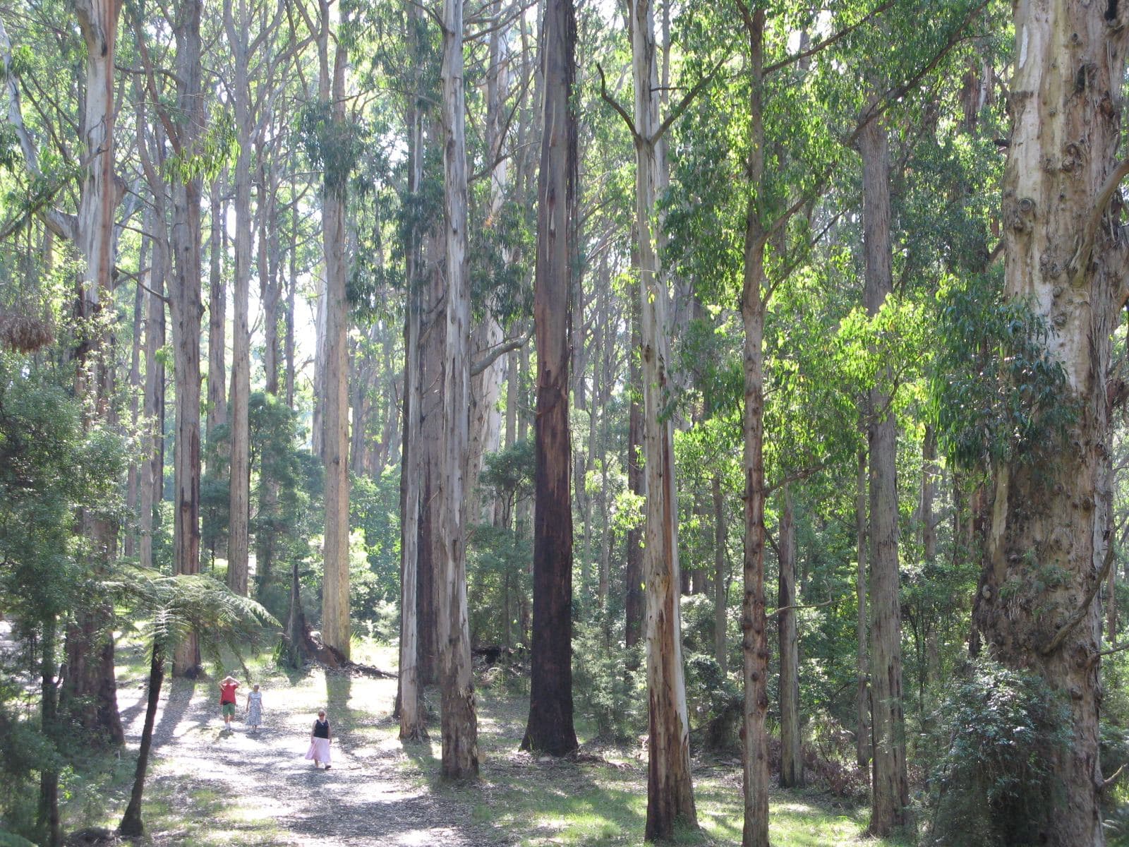
Ask for a quoteDandenong Ranges. Photo: Nick Carson, CC BY 3.0

Ten-acre selections, long boundaries
The Patch was cut into 10-acre farming selections in the 1890s depression, under the Settlement on Lands Act of 1893, and berry growing had taken hold by the end of that decade. Today it is houses, a general store, a school and several commercial nurseries, with 1,046 people at the 2021 census. The planning map puts about 93% of it in Green Wedge zones, so many fences here divide rural blocks rather than backyards.
Between two farms, or where a farm meets a house block, the Fences Act's sufficient fence is the farm standard, and the state's example of one is post and wire. Neighbours split that cost evenly. Farm fencing covers barbed wire and wildlife.
Checked 25 October 2026 against Wikipedia: The Patch, Victoria, Vicmap Planning, the state's zone and overlay maps (DataVic), measured across the suburb, Fences Act 1968 (Vic), authorised version 072 and Victorian Government: fencing in Victoria.
SLO1 covers every fence, not just the front
The landscape overlay reaches every block in The Patch, and on the tree site's sample it was the ranges schedule, SLO1, throughout. SLO1 needs a planning permit for any fence unless it is under 1.8 m and more than 75% see-through. Plain post and wire passes both tests. A paling or Colorbond fence on a side boundary does not, even at the usual 1.8 m, so it is a permit application to Yarra Ranges.
About a quarter of the suburb also carries an Environmental Significance Overlay. Its fence wording is unclear, so if your report shows ESO1, ask Yarra Ranges planning before the job is booked. Fence permits sets out the building rules that sit on top.
A free VicPlan property report names your overlays.
Checked 25 October 2026 against Vicmap Planning, the state's zone and overlay maps (DataVic), measured across the suburb, Yarra Ranges Planning Scheme, Schedules to Clause 42.03 (SLO1–6, SLO22, SLO23) and Yarra Ranges Planning Scheme, Schedules to Clause 42.01 (ESO1, ESO2).
Bush along the line
The Patch was named for a stand of mountain ash, and the Bushfire Management Overlay covers all of it. For a boundary fence built before 10 September 2009, vegetation can be cleared 4 m wide, both sides combined, without a planning permit. A new boundary fence between different owners has a similar allowance for native vegetation. Clearing a fence line has the conditions.
Checked 25 October 2026 against Wikipedia: The Patch, Victoria, Vicmap Planning, the state's zone and overlay maps (DataVic), measured across the suburb, Victoria Planning Provisions, Clause 52.12 (bushfire protection exemptions) and Victoria Planning Provisions, Clause 52.17 (native vegetation).
Over the boundary
- Monbulk
- SLO5 on the farms, which doesn't require a permit for post and open-weave wire under 1.8 m, and SLO22 in the township, which only governs front fences.
- Selby and Menzies Creek
- Selby is mostly SLO1, with SLO3 on the same fence terms along the Puffing Billy line. The south of Menzies Creek is in Cardinia, whose hills overlays carry no fence trigger.
Checked 25 October 2026 against Yarra Ranges Planning Scheme, Schedules to Clause 42.03 (SLO1–6, SLO22, SLO23) and Cardinia Planning Scheme, schedules to Clauses 42.01, 42.02, 42.03 and 43.02.
Ask for a quote
Tell us where you are and what needs doing, and we'll contact you as soon as possible.