Fencing in The Basin
The Basin is a green wedge suburb with streets in it, so its fences run from suburban front yards to long boundaries at the edge of the forest.
We connect you with a local fencer who works in the hills.
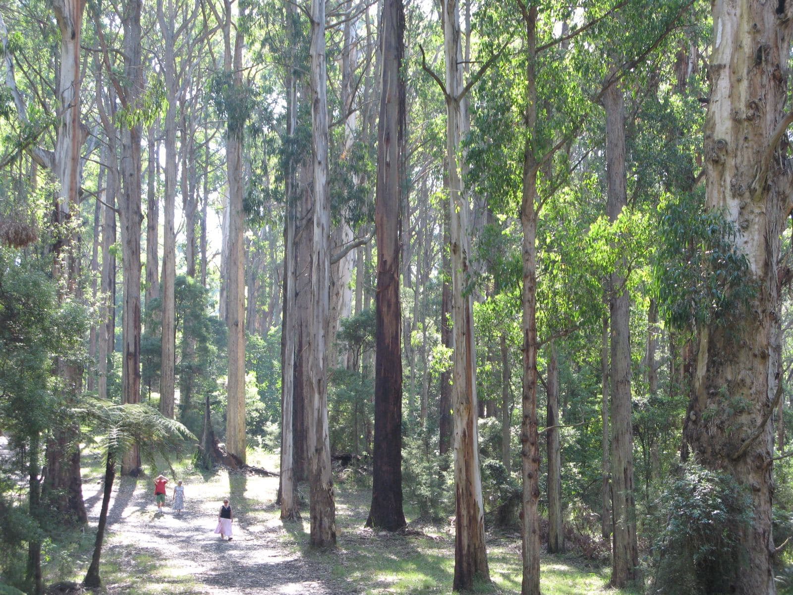
Ask for a quoteDandenong Ranges. Photo: Nick Carson, CC BY 3.0

Three kinds of block
The Basin is one of Melbourne's green wedges, in the forested foothills of Mount Dandenong, and it still has some farmland. The planning map gives about a quarter of it to the Rural Conservation Zone and about a fifth each to Low Density Residential, the Neighbourhood Residential streets and special-use land. A fence on a suburban street, on a large lot and on a bush block are different jobs.
Checked 25 October 2026 against Wikipedia: The Basin, Victoria and Vicmap Planning, the state's zone and overlay maps (DataVic), measured across the suburb.
Front fences in the streets
The Basin is in Knox, and Knox's Neighbourhood Residential schedules set the front fence height: 1.2 m on most streets, and 2 m where the street is a main road zoned Transport Zone 2. Within 3 m of the street, a fence taller than that needs a building permit. Where no zone schedule sets a height, the regulations' default applies: 1.5 m, or 2 m on a declared road. Your VicPlan report shows the zone of your block and of the road out the front.
Checked 25 October 2026 against Vicmap Planning, the state's zone and overlay maps (DataVic), measured across the suburb, Knox Planning Scheme, Clause 32.09 schedules (front fence height) and Building Regulations 2018 (Vic), authorised version 031.
Knox's landscape overlays
A landscape overlay covers nearly all of The Basin. On the tree site's sample the commonest was SLO4, The Basin Rural Landscape, which needs a planning permit for any fence unless it is post and wire, 1.2 m or less and more than 75% open. A paling or Colorbond fence between two acreage blocks there is a permit application.
SLO2 (Foothills Backdrop and Ridgeline) and SLO3 turned up too. Under either, a front fence needs a permit unless it is 1.2 m or less and more than 50% see-through, and so does a side fence between the house and the street unless it is 1.2 m or less. Their fence triggers stop at the front of the house.
ESO3, DDO1 and DDO2 add no fence trigger. ESO2 also covers part of the suburb, and we haven't read its fence wording, so ask Knox's planners if your property report lists it.
Checked 25 October 2026 against Vicmap Planning, the state's zone and overlay maps (DataVic), measured across the suburb, Knox Planning Scheme, Schedules 2, 3 and 4 to Clause 42.03 and Knox Planning Scheme, schedules to Clauses 42.01, 42.02 and 43.02.
Next to the forest and the reserves
Some blocks back onto the national park, which takes in Doongalla Forest, or onto a bushy reserve such as Wicks Reserve. The Crown doesn't contribute to a dividing fence, and a council holding a public reserve isn't an "owner" under the Fences Act, so a fence there is usually the homeowner's to pay for. Between two private blocks the cost is shared; dividing fences covers the notice.
Checked 25 October 2026 against Wikipedia: The Basin, Victoria and Fences Act 1968 (Vic), authorised version 072.
The fire overlay
A Bushfire Management Overlay covers more than half of The Basin. In a Bushfire Prone Area, vegetation along a fence built before 10 September 2009 can be cleared 4 m wide, both sides combined, without a planning permit. Clearing a fence line has the details.
Checked 25 October 2026 against Vicmap Planning, the state's zone and overlay maps (DataVic), measured across the suburb and Victoria Planning Provisions, Clause 52.12 (bushfire protection exemptions).
Heritage places
Knox's Heritage Overlay names three places in The Basin. On a heritage place, a fence that can be seen from a street or a public park needs a planning permit.
Checked 25 October 2026 against Vicmap Planning, the state's zone and overlay maps (DataVic), measured across the suburb and Victoria Planning Provisions, Clause 43.01 (Heritage Overlay).
Leaving Knox
- Sassafras and Tremont
- Up the hill in Yarra Ranges, under SLO1: a permit for any fence unless it is under 1.8 m and more than 75% see-through.
- Kilsyth and Kilsyth South
- Kilsyth is mostly Yarra Ranges; Kilsyth South is Maroondah, where residential front fences are 0.9 m, or 1.2 m on a Transport Zone 2 road.
Checked 25 October 2026 against Vicmap Planning, the state's zone and overlay maps (DataVic), measured across the suburb, Yarra Ranges Planning Scheme, Schedules to Clause 42.03 (SLO1–6, SLO22, SLO23) and Maroondah Planning Scheme, Clause 32.09 schedules (front fence height).
Ask for a quote
Tell us where you are and what needs doing, and we'll contact you as soon as possible.