Fencing in Sherbrooke
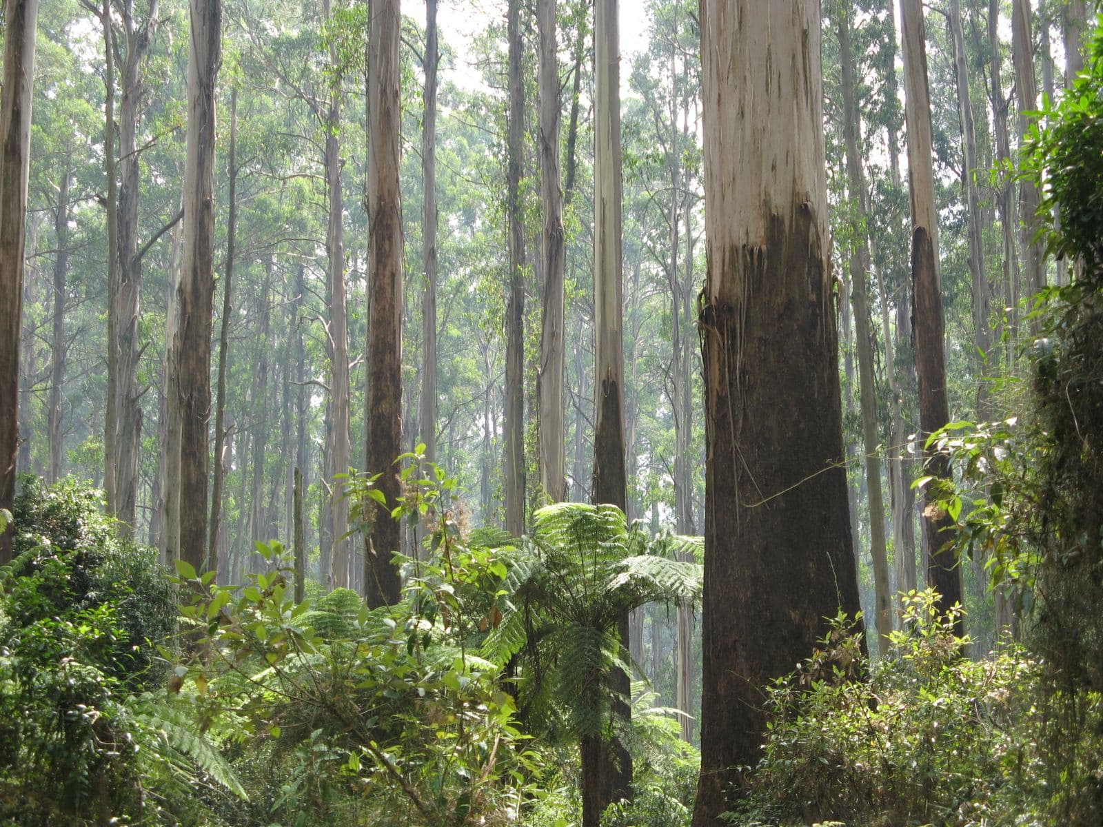
Sherbrooke is mostly forest, so a private fence here often has the national park on one side and gliders and lyrebirds around it.
We connect you with a local fencer who works in the hills.
Ask for a quoteSherbrooke Forest. Photo: Nick Carson, CC BY 3.0

Fencing beside Sherbrooke Forest
Most of Sherbrooke is the forest, part of Dandenong Ranges National Park, and the private land sits around its edges. A boundary with the forest is Crown land, and the Crown doesn't contribute to the fence.
The forest is home to gliders, possums, wombats and lyrebirds. The state's Land for Wildlife note on fencing says gliders and birds get caught on barbed wire, and recommends plain wire where possible. Farm fencing has the barbed wire rules.
Checked 25 October 2026 against Wikipedia: Sherbrooke, Victoria, Wikipedia: Kallista, Victoria, Vicmap Planning, the state's zone and overlay maps (DataVic), measured across the suburb, Fences Act 1968 (Vic), authorised version 072 and Land for Wildlife note LW0029: fencing wildlife habitat (1999).
Permits on the private blocks
The private land is under SLO1, which requires a planning permit for any fence unless it is under 1.8 m and more than 75% see-through. An Environmental Significance Overlay covers nine tenths of the locality, and the tree site found ESO1 on most of its sample; ESO1's fence wording is ambiguous, so ask Yarra Ranges planning.
Sherbrooke Road has two places on the Victorian Heritage Register, Burnham Beeches with the Alfred Nicholas Memorial Gardens, and Mawarra. On a place in the Heritage Overlay, a fence visible from a street (other than a lane) or a public park needs a planning permit. The overlay covers most of the locality on the planning maps, much of it the forest, and Yarra Ranges' schedule lists each place.
A free VicPlan property report shows whether the overlay is on your block.
Checked 25 October 2026 against Wikipedia: Sherbrooke, Victoria, Vicmap Planning, the state's zone and overlay maps (DataVic), measured across the suburb, Yarra Ranges Planning Scheme, Schedules to Clause 42.03 (SLO1–6, SLO22, SLO23), Yarra Ranges Planning Scheme, Schedules to Clause 42.01 (ESO1, ESO2), Victoria Planning Provisions, Clause 43.01 (Heritage Overlay) and Yarra Ranges Planning Scheme, Schedule to Clause 43.01 (heritage places).
Out of the forest
- Kallista, Sassafras and Ferny Creek
- SLO1, the same test for every fence.
- Selby
- Mostly SLO1, and SLO3 on the same terms along the Puffing Billy line.
Checked 25 October 2026 against Yarra Ranges Planning Scheme, Schedules to Clause 42.03 (SLO1–6, SLO22, SLO23).
Ask for a quote
Tell us where you are and what needs doing, and we'll contact you as soon as possible.