Fencing in Ferny Creek
The 1997 fires came through Ferny Creek. Its fences sit under a bushfire overlay and a landscape overlay that reaches every boundary.
We connect you with a local fencer who works in the hills.
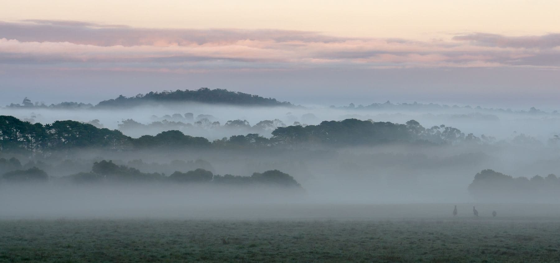
Ask for a quoteDandenong Ranges. Photo: Uzman Naleer, CC BY-SA 4.0

Fences after 1997
The deliberately lit fires of 21 January 1997 reached Ferny Creek; they destroyed 42 homes and killed three residents. The whole suburb is under the Bushfire Management Overlay, and that matters for fences in two ways.
If a boundary fence went up before 10 September 2009, a strip 4 m wide in total (both sides counted together) can be cleared along it with no planning permit. And CFA's garden advice favours stone walls and non-combustible fences, and keeps fences away from windows, decks and eaves. That is advice rather than a rule, but it is worth weighing when the old fence near the house comes down. Clearing a fence line has the detail.
Checked 25 October 2026 against Wikipedia: Ferny Creek, Victoria, Vicmap Planning, the state's zone and overlay maps (DataVic), measured across the suburb, Victoria Planning Provisions, Clause 52.12 (bushfire protection exemptions), DELWP: vegetation exemptions for bushfire protection (fact sheet) and CFA: designing a fire-resistant garden.
Which fences need a permit
All of Ferny Creek is under SLO1. For a fence anywhere on the block, front, side or back, it requires a planning permit unless the fence is under 1.8 m and more than 75% see-through. A solid steel sheet fence, non-combustible as it is, needs one; so does solid masonry. Open steel mesh or wire under 1.8 m doesn't.
About half the suburb also carries ESO1, and its fence clause can be read two ways. Ask Yarra Ranges planning if your property report lists it.
VicPlan gives a free property report with your overlays.
Checked 25 October 2026 against Vicmap Planning, the state's zone and overlay maps (DataVic), measured across the suburb, Yarra Ranges Planning Scheme, Schedules to Clause 42.03 (SLO1–6, SLO22, SLO23), Yarra Ranges Planning Scheme, Schedules to Clause 42.01 (ESO1, ESO2) and Yarra Ranges Council: building a fence.
Big blocks between two forests
Ferny Creek keeps a rural feel: large residential blocks, little commerce, the national park to the north and west and Sherbrooke Forest to the east. Over half the land is zoned green wedge. A long boundary shared with a private neighbour is split half each under the Fences Act, at the standard of a sufficient fence. One shared with the national park or Sherbrooke Forest usually falls to you alone: the Act doesn't count unalienated Crown land, or a public park or reserve, as a neighbour who pays a share. Dividing fences covers the notice.
Checked 25 October 2026 against Wikipedia: Ferny Creek, Victoria, Vicmap Planning, the state's zone and overlay maps (DataVic), measured across the suburb and Fences Act 1968 (Vic), authorised version 072.
Past Dunns Hill
- Sassafras, Tremont and Sherbrooke
- SLO1, the same test for every fence.
- Upwey and Tecoma
- Downhill, the township overlay SLO22, which only asks about front fences, and doesn't require a permit for one under 1.2 m or more than 75% see-through.
- Upper Ferntree Gully
- Mostly Knox, where Neighbourhood Residential streets allow a 1.2 m front fence (2 m on a Transport Zone 2 road). Most of the Knox side is under SLO2, which needs a permit for a front fence unless it is 1.2 m or less and more than half see-through.
Checked 25 October 2026 against Yarra Ranges Planning Scheme, Schedules to Clause 42.03 (SLO1–6, SLO22, SLO23), Knox Planning Scheme, Clause 32.09 schedules (front fence height) and Knox Planning Scheme, Schedules 2, 3 and 4 to Clause 42.03.
Ask for a quote
Tell us where you are and what needs doing, and we'll contact you as soon as possible.