Fencing in Montrose
Montrose sits where the township blocks give way to green wedge and the foothills of Mount Dandenong, so a fence here might be front pickets or a farm boundary.
We connect you with a local fencer who works in the hills.
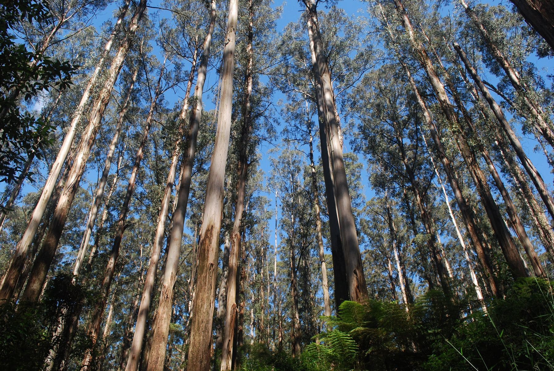
Ask for a quoteDandenong Ranges. Photo: Haworthia Ihlathi, CC BY-SA 4.0

The township blocks: SLO22
Almost every house block in Montrose is under a Significant Landscape Overlay, and on most of them it is SLO22, Yarra Ranges' schedule for the foothill townships. Its fence rule is only about the front: a planning permit is needed unless the fence is under 1.2 m or more than 75% see-through. Open pickets at waist height, or a taller fence of wire or spaced slats, avoid it. A close paling fence at full height along the street does not.
Yarra Ranges' residential zones set no front fence height of their own, so the building rule is the usual one. A fence within 3 m of the street can reach 1.5 m, or 1.2 m in brick or concrete, without a building permit, and the regulations allow 2 m on a declared road.
A free VicPlan property report names the overlay on your block.
Checked 25 October 2026 against Vicmap Planning, the state's zone and overlay maps (DataVic), measured across the suburb, Yarra Ranges Planning Scheme, Schedules to Clause 42.03 (SLO1–6, SLO22, SLO23) and Building Regulations 2018 (Vic), authorised version 031.
Green wedge land and the old orchards
Montrose was farmed from the late 1800s, and orchards were common there into the early 1900s. About a third of the suburb is still green wedge land. Where a farm meets a house block, the Fences Act takes the farm standard as the sufficient fence, usually post and wire, and the two owners share its cost. Anything better is paid for by whoever wants it. Farm fencing covers barbed wire and the farm overlays.
Checked 25 October 2026 against Wikipedia: Montrose, Victoria, Vicmap Planning, the state's zone and overlay maps (DataVic), measured across the suburb, Fences Act 1968 (Vic), authorised version 072 and Victorian Government: fencing in Victoria.
After the 1961 fire
A bushfire in 1961 destroyed 23 houses in Montrose. The Bushfire Management Overlay now covers about three quarters of the suburb's land and about half its house blocks. In a Bushfire Prone Area, vegetation along a boundary fence built before 10 September 2009 can be cleared 4 m wide, both sides together, without a planning permit. Clearing a fence line has the conditions. CFA's garden advice prefers non-combustible fences and keeps fences away from windows and decks. That is advice, not a building rule.
Checked 25 October 2026 against Wikipedia: Montrose, Victoria, Vicmap Planning, the state's zone and overlay maps (DataVic), measured across the suburb, Victoria Planning Provisions, Clause 52.12 (bushfire protection exemptions) and CFA: designing a fire-resistant garden.
Fibro fences from the post-war years
Montrose grew quickly after the Second World War, and by the 1970s the suburbs had reached it. A fence built or renovated before 1990 may contain asbestos, so have an old sheet fence checked before anyone cuts or breaks it. Asbestos fences explains who can remove it.
Checked 25 October 2026 against Wikipedia: Montrose, Victoria and Asbestos in Victoria: where is asbestos?.
Over the boundary
- Mount Evelyn
- Also mostly SLO22 on its house blocks, so the same front-fence test.
- Kalorama and Mount Dandenong
- Up the hill, the ranges overlay SLO1: any fence needs a permit unless it is under 1.8 m and more than 75% see-through.
- Kilsyth
- Mostly SLO23 in the streets, a schedule with no fence rule at all.
Checked 25 October 2026 against Yarra Ranges Planning Scheme, Schedules to Clause 42.03 (SLO1–6, SLO22, SLO23).
Ask for a quote
Tell us where you are and what needs doing, and we'll contact you as soon as possible.